
Navigating the Route with Michael Quiring
Guest post by Michael Quiring
LSA Coverdell Fellow
Michael Quiring is a second year graduate student at the University of Arizona studying Public Health. He recently moved to Tucson in August 2021 and enjoys exploring the city on his bike, seeing what all of Tucson has to offer. Michael gathered the highlights on this map through personal excursions on his old-school Trek, interviewing Pueblo High Bike Club students, seeking lunch recommendations and participating in group rides. From the delicious food to the colorful murals, he highly recommends spending time appreciating South 12th and hopes to share some tips on how to navigate car-free.
The South 12th Avenue Cyclovia Route spans an area some affectionately know as La Doce—from 38th street at Julian Wash Archaeological project, extending along 12th Ave down to San Xavier Rd. The community is rich in culture, history, and a passion for food; it’s a gem to visit in the greater Tucson area. And the food is no joke; this area has been highlighted as a premier destination for eating some of the Best 23 Miles of Mexican food in Arizona.
Getting There
Bus: The main pathways for arriving via bus are the 10th and 12th Ave bus routes. Consider getting to this line by starting at Laos Transit Center or Ronstadt Transit Center. Maps, schedules, and locations of buses can be found on Sun Tran’s website.
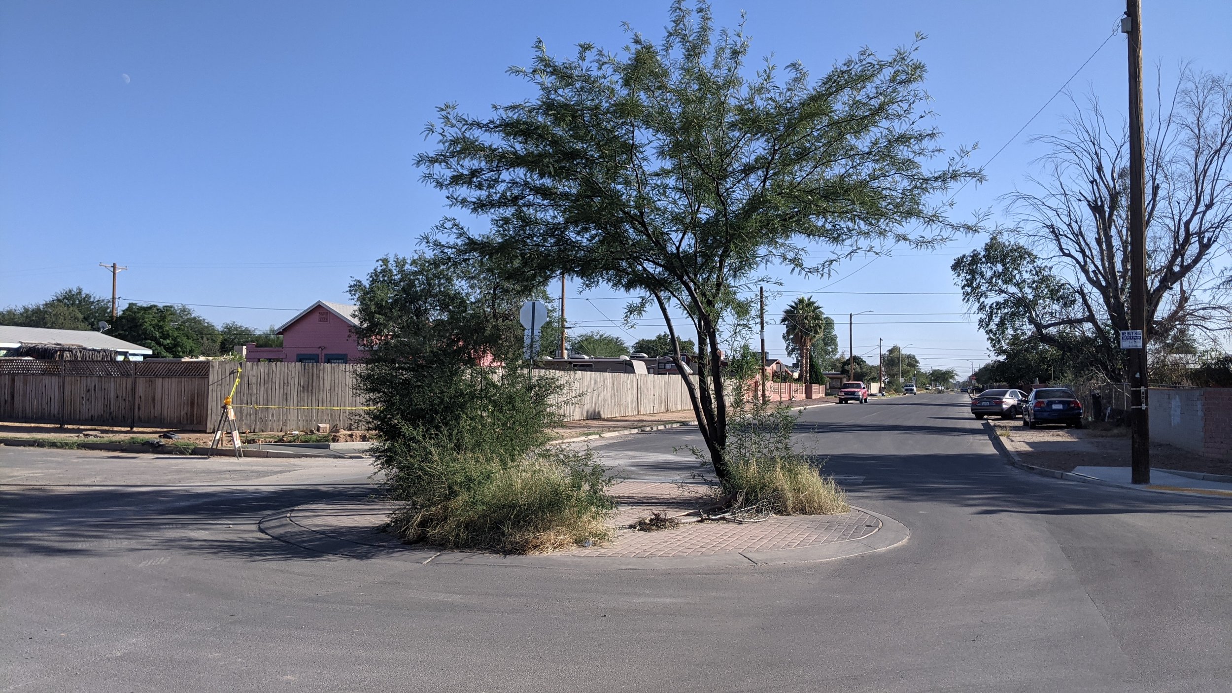
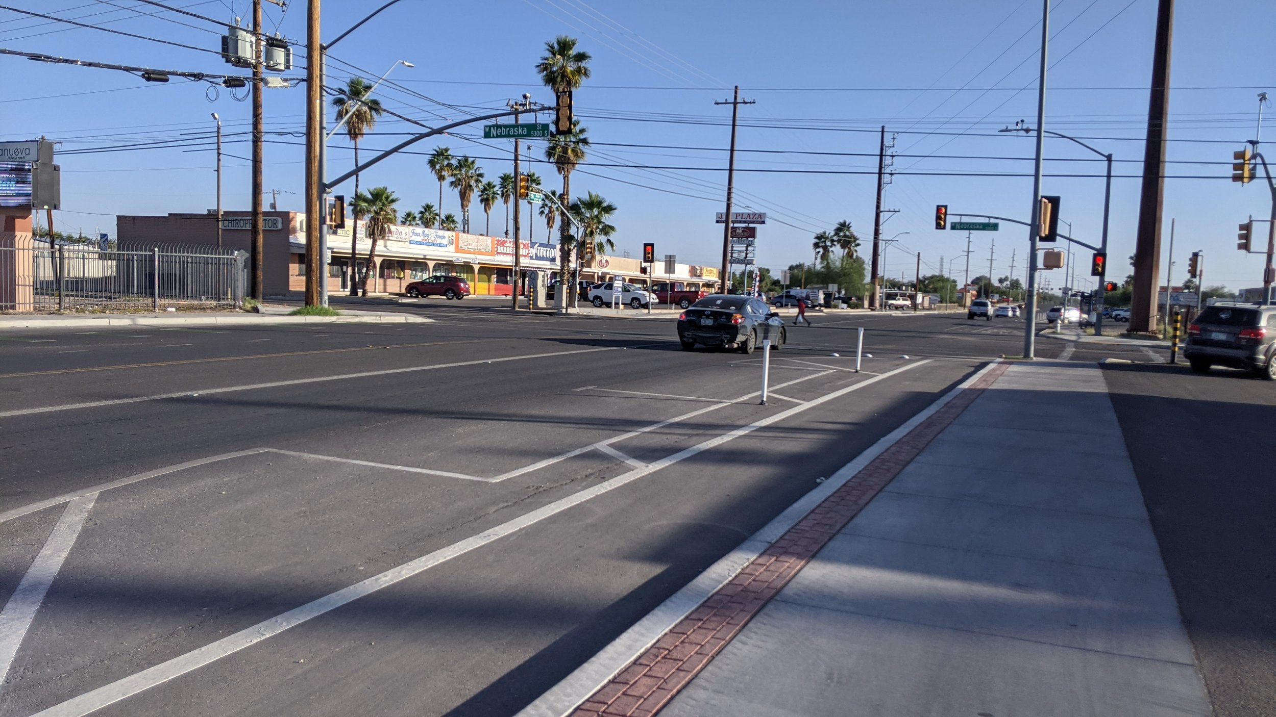
Bicycle: The best way of getting here is via The Loop—either from the Santa Cruz or Julian Wash pathways. If coming from the north but hitting The Loop is too far off-route, consider taking 10th ave to Liberty since this route has been prioritized for bicycle transportation. Alternatively, the El Paso and Southwest Greenway is another bicycle route that will dump you off at 29th St and 10th Ave. If coming from the south, another enhanced route leads to La Doce starting from San Fernando and transitioning into Liberty.
Since the 1990s, the city of Tucson and Pima county, in collaboration with local community leaders and non-profits, have invested millions of dollars beginning to better transportation infrastructure in these areas—including the Liberty Street Bike Blvd.
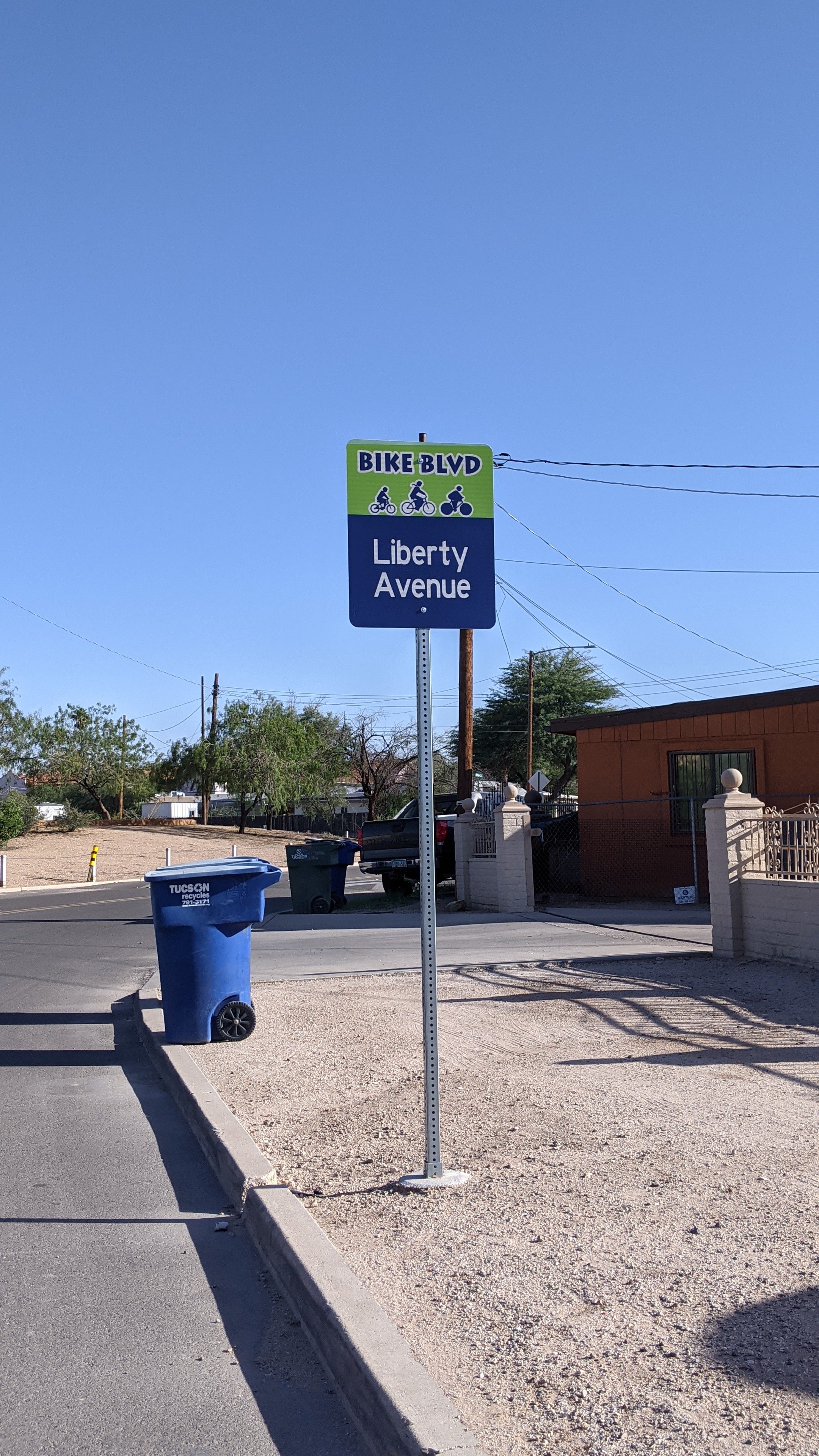
Liberty Street Bike Boulevard
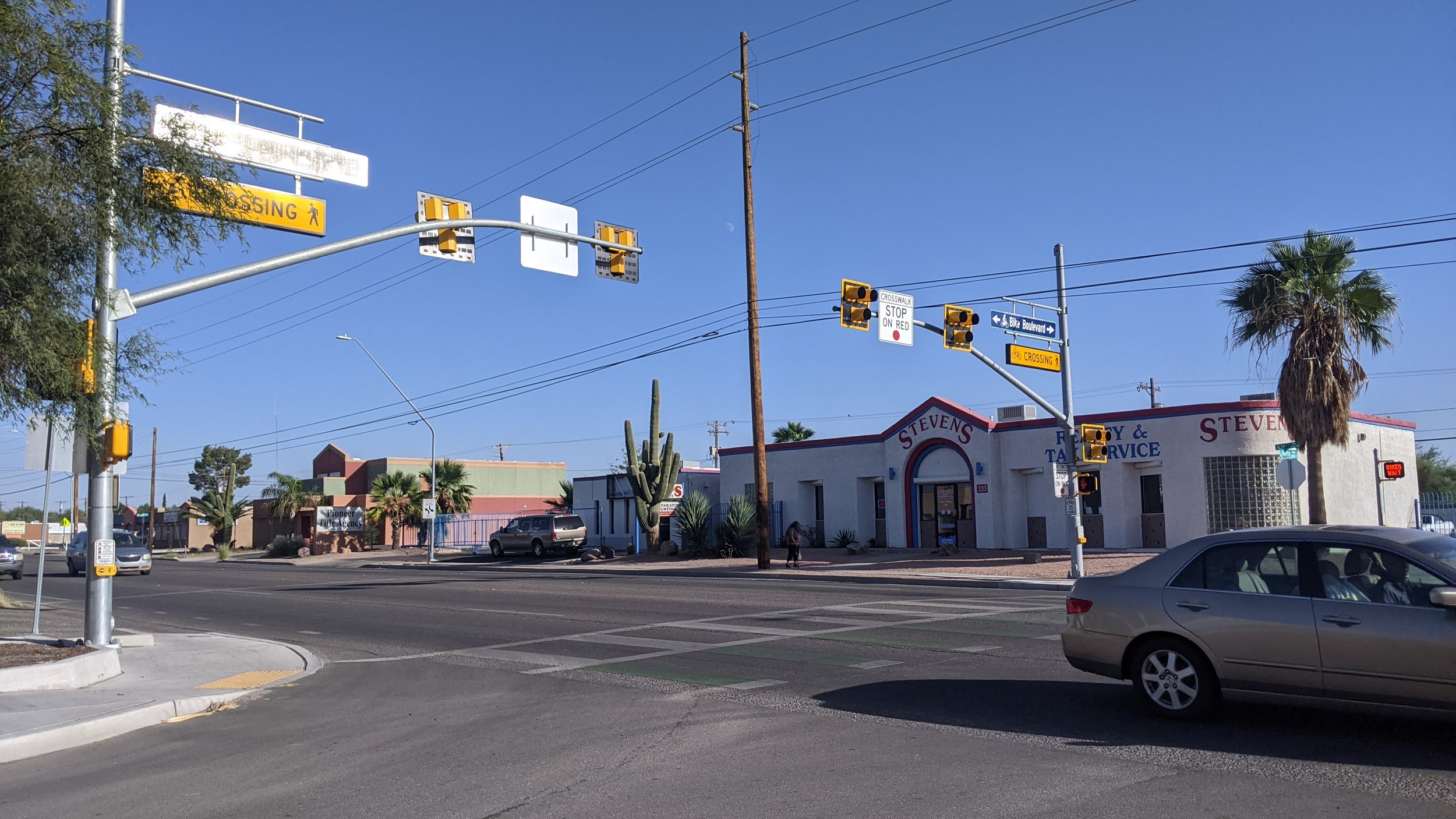
This designated bikeway is the perfect option for cyclists to commute when in La Doce. Running parallel, North/South, with 12th Avenue, Liberty Street provides a great alternative for people traveling to ride safely and in larger groups with friends or family. The street has been resurfaced to address the problem of potholes, in addition to features that have been added to reduce speed and traffic down this street. There are key HAWK crossings on Ajo and Irvington to safely cross heavy traffic. This route allows any cyclist to ride a little bit easier and travel along the corridor without having to deal with the busyness of 12th Avenue at peak traffic times. If you want to access any of the businesses on 12th, simply take one of the many neighborhood streets such as District, Ohio, or Michigan westward for access.

The Talking Mural on S. 12th Ave.
Artists: Alex! Jimenez & Johanna Martinez / [photo credit: Mamta Popat/ AZ Daily Star]
One way visitors can learn more about the history of this area is hearing local business-owners tell it in their own words at the talking mural on the side of the Oasis Fruit Cones building, painted in 2017. Here you can use your phone to scan QR codes on an interpretive display to listen to audio recordings of various business owners along 12th avenue. Beautiful images on the wall capture the culture and significant figures of La Doce. Audio is available in both English and Spanish. And once you’re done, you can order a raspado on your way out!